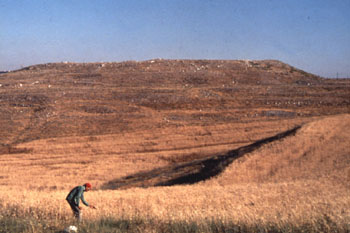
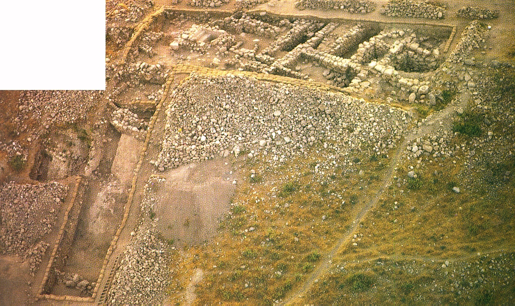
The team emphasized GPR mapping for portions of the top of Tell el-Umeiri near Amman, Jordan, to provide data for specific archaeological questions concerning the unexcavated sectors of the tell. A 10 by 44 meter area on a 0.5 by 0.5 meter grid along the south rim of the tell tied together previous information from the region south of Field A and the 30 by 35 meter pattern investigated on the south slope in 1992. GPR mapping results showed the continuation of a double casemate wall similar in pattern to the one excavated along a short section of the upper western defense system. Further supporting data for a south gate was also obtained. Data was taken with a 300 MHz antenna.
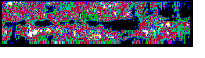
In the data presented below, black areas indicate areas devoid of features, magenta and olive green indicate possible rock tumble (low reflectivity), red and white (high reflectivity) indicate densely packed stones probably in a wall.
Below are a series of side views (as if looking at a trench wall). The series shows the affects of various processing steps for the 10 by 44 meter survey data. The top view shows the raw GPR data. The second and third views show the affects of applying various filters on the raw data. The final product is shown in the last view. Looking at each view is as if you were gazing at the wall of an imaginary trench dug alongside the 44 meter edge of the survey.
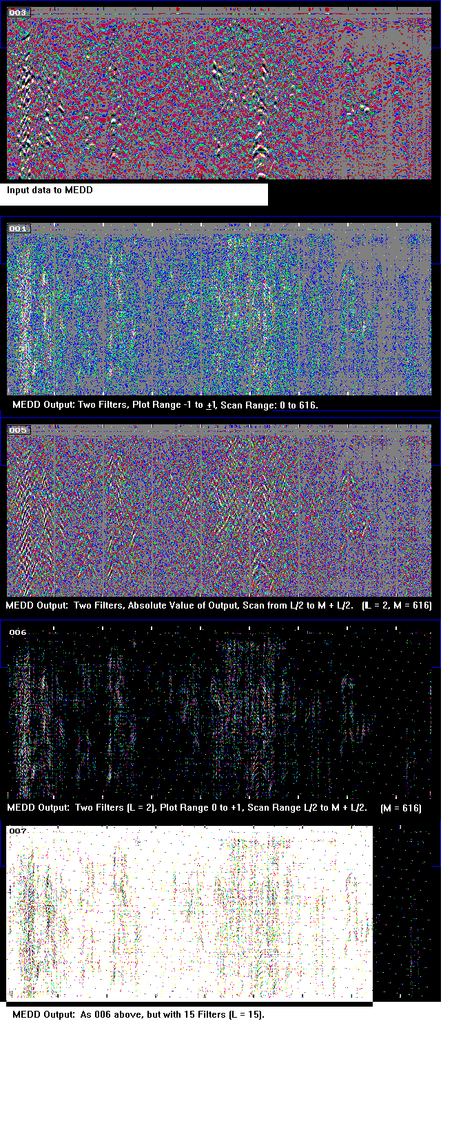
Below shows a top (plan) view of processed data on the 10 by 44 meter survey. Looking at this view is as if you had x-ray vision, looking into the ground from high above the tell site. Two walls are visible if you follow the white, red and light green patches. These walls run horizontally across the screen at the top and bottom of the image. Interconnecting walls can be seen running vertically by following the dark green and magenta colours. The wall on the top part of the image is 0.6 to 1.8 meters below the surface, whereas the 'bottom' wall is 0.2 to 0.8 meters down. This difference is because a steep slope begins in the center of the survey, at roughly one-half of the image and continues downhill. The interconnecting walls are deeper, as deep as 2.2 meters. There are no significant features above or below this wall system; this is in contrast to other locations. The maximum penetration of this survey was 4 meters.
Moving north from the east end of the 10 by 44 meter pattern, a 10 by 24 meter and following 25 by 53 meter pattern revealed significant differences in sub-surface features across the central portion of the tell and the upper slope of the north rim area. Again a 0.5 by 0.5 meter grid was employed. The features were often detected by the 300 MHz antennae to depths somewhat exceeding three meters. The 500 MHz antennae penetrates less deeply but provided somewhat higher resolution of the features.To determine if greater penetration of radar signal was possible at Tell Jalul than that observed in 1989, the 300 MHz antennae was used along the balks of and in the region adjacent to Field B. Modest improvement over the 1989 results provided about one meter of penetration. (This tell has significant clay content in the soil which attenuates the GPR.) While this region of Tell Jalul has significantly fewer subsurface structural features than the areas investigated at Tell el-Umeiri, this somewhat improved radar penetration allows potential detection of the upper portion of walls and some paved surfaces by seeing past random surface rubble and moderately problematic wind-blown deposits.Significant progress was made in improving the legibility of the data. An important development has been the ability to process, view, and produce false colour hard copies of data in the field. Testing the algorithms on a large scale revealed important patterns in the data not readily visible in the raw data. Without the ability to view the data in all dimensions, we were unable to evaluate the potential of the algorithms. New data processing algorithms are being considered using the information collected about typical reflectors and absorbers in a tell. With an accurate model for the scatterers, we can develop a customized algorithms which should enhance our arsenal of processing methods. See Inverse Filter Processing.