1996 Season Results on the Madaba Plains Project
The team continued its survey of the casemate wall around Tell el-Umeiri.
A 0.5 by 0.5 meter survey grid around the suspected 'Citadel Building'
high atop the tell was completed. Data has not yet been processed as of
01 May 1997. Due to equipment difficulties in the field, it was not possible
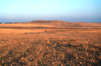
to test the data processing techniques in the field. At Tell Jalul the
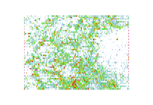
supposed Megiddo-like water facility atop the tell was investigated using
acoustic diffraction. The site is a 'Dixie cup-shaped' structure 60 meters
in diameter (average) and, unexcavated, a depth of 3 meters. Archaeologists
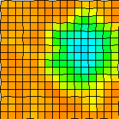
believe it to be a water facility now filled with wind-blown silt. Assuming
the Jalul facility is the same shape as the one excavated at Megiddo, it
should have a depth when (if?) excavated of over 30 meters. Preliminary
results show the actual depth to be a disappointing 18 meters which does
not take the level down to the ground level surrounding the tell. An image
based on this preliminary is shown below. One square is approximately 8
x 8 meters.
This view is seen as if one could fly over this site and look into the structure. You begin directly over the site, fly down until you are parallel with it, then fly around its horizon to return to the beginning.
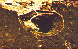
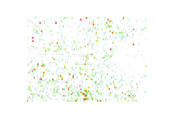
The site at Megiddo for comparison
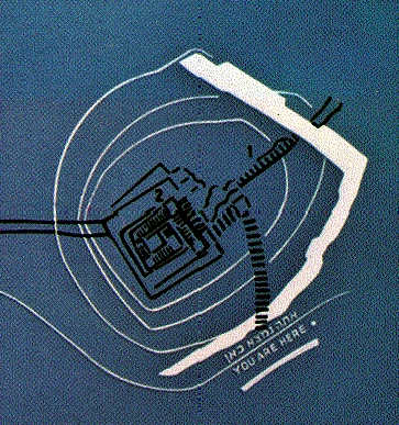
The newest addition to the data analysis of GPR on Tell El'Umeri is this animated GIF file. It shows the edge of a casemate wall section in 3-D. The first view you see is a bird's eye view. The wall section appears at the bottom of the data. A wall fragment lies just above it. At the top of this figure is the open courtyard; the gate lies just to the left. Click the figure below to load the animation. It is 2.3 MB. As the animation progresses we view as if we were flying around it from above, descending until we are looking at each side horizontally.
Return to Archaeology Home Page